

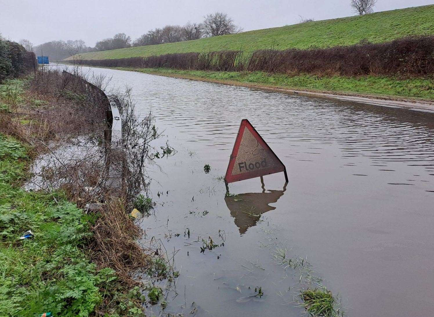
Flood warnings and alerts in place across Suffolk due to high river levels following Storm Henk

There are currently six flood warnings and 10 flood alerts in place across Suffolk due to ongoing rainfall.
Flood warnings mean flooding is expected and flood alerts mean flooding is possible, according to the Government website.
A yellow weather warning for heavy rain had been in place for the whole of Suffolk, but that has since been lifted.
The warnings and alerts are as follows:
Flood warnings:
→Bumpstead Brook through Steeple Bumpstead to New England;
→The Rattlesden River from Rattlesden to Combs Ford in Stowmarket;
→The River Brett from Lavenham to Higham;
→The River Gipping through Needham Market;
→The River Lark from Clopton to Martlesham;
→The Stour Brook from Haverhill to Sturmer.
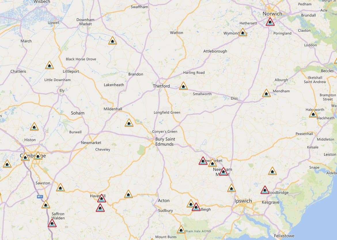
Flood alerts:
→Little Ouse River and River Thet in Suffolk and Norfolk;
→River Lark in Suffolk, from Sicklesmere, near Bury St Edmunds, to Isleham, in Cambridgeshire;
→The Rattlesden River and River Gipping, through and including Stowmarket and Needham Market;
→The Rivers Blyth and Walpole and Chediston, Bramfield and Wrentham watercourses;
→The Rivers Box, from Boxford, and Brett, from Cockfield;
→The Rivers Deben, from Debenham, and Lark, from Clopton to Martlesham;
→The River Stour from Sudbury to Stratford St Mary and Dedham;
→The River Waveney from Diss and the River Dove to Ellingham, including Bungay;
→The tidal River Waveney from Ellingham to Breydon Water, including Beccles Quay, Oulton Broad, Somerleyton;
→The upper Stour and surrounding tributaries, to and including, Sudbury.